
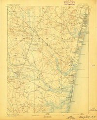
1888 Map of Sandy Hook
USGS Topo · Published 1888About this map
Highlands of Navesink dominate the coastal topography of this Monmouth County landscape, where the Navesink Lights stand as a vital navigational landmark overlooking the Atlantic. The shoreline is defined by the narrow spit of Sandy Hook, dotted with specialized infrastructure including the L.S. Station Sandy Hook and the Sandy Hook Pier. Inland, the terrain transitions from the salt marshes near Raritan Bay to a complex network of creeks and brooks like Poricy Brook and New Swamp Brook that drain the interior.
Find a feature on this map
120 named features on this map. Tap any name to fly to it.
Don’t see what you’re looking for? This feature index may not catch every label — zoom into the map to look around manually.
Map Details
Editions of this 1888 Sandy Hook Map
This is the sole edition of this map. No revisions or reprints were ever made.
Other maps of this area

1888 · Plainfield
USGS Topo · 1:62,500

1888 · New Brunswick
USGS Topo · 1:62,500
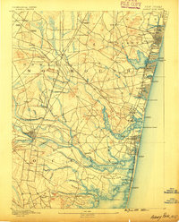
1888 · Asbury Park
USGS Topo · 1:62,500

1888 · Cassville
USGS Topo · 1:62,500
1889 · Brooklyn
USGS Topo · 1:62,500
1891 · Brooklyn
USGS Topo · 1:62,500

1893 · New Brunswick
USGS Topo · 1:62,500

1893 · Plainfield
USGS Topo · 1:62,500
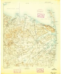
1893 · Sandy Hook
USGS Topo · 1:62,500
1893 · Asbury Park
USGS Topo · 1:62,500