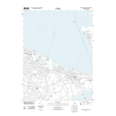
2011 Map of Sandy Hook West
USGS Topo · Published 2011About this map
Sandy Hook Bay and the complex tidal landscape of the Jersey Shore define this coastal survey. The map details the residential and maritime infrastructure of Monmouth County, from the docks of Port Monmouth and Belford to the elevated terrain of Atlantic Highlands and Garrett Hill. Modern ferry routes, such as the Belford-Wall St-WFC, underscore the area's role as a transit hub for the New York metropolitan region.
Find a feature on this map
69 named features on this map. Tap any name to fly to it.
Don’t see what you’re looking for? This feature index may not catch every label — zoom into the map to look around manually.
Map Details
Editions of this 2011 Sandy Hook West Map
This is the sole edition of this map. No revisions or reprints were ever made.
Other maps of this area

1888 · Sandy Hook
USGS Topo · 1:62,500

1889 · Brooklyn
USGS Topo · 1:62,500

1891 · Brooklyn
USGS Topo · 1:62,500

1893 · Sandy Hook
USGS Topo · 1:62,500

1897 · Brooklyn
USGS Topo · 1:62,500

1898 · Staten Island
USGS Topo · 1:62,500

1898 · Brooklyn
USGS Topo · 1:62,500

1900 · Passaic
USGS Topo · 1:125,000

1900 · Staten Island
USGS Topo · 1:62,500

1900 · Brooklyn
USGS Topo · 1:62,500