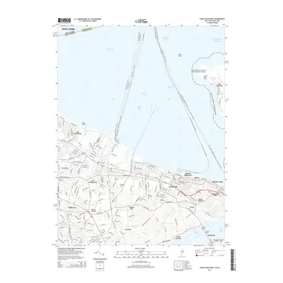
2014 Map of Sandy Hook West
USGS Topo · Published 2014About this map
Fort Hancock and the northern reaches of the Gateway National Recreation Area dominate the eastern shoreline, where the peninsula of Sandy Hook Point reaches into the Atlantic Ocean. This maritime landscape is defined by its complex waterway network, featuring the Raritan Bay Channel and numerous ferry routes connecting the Monmouth County coast to New York City. Inland, the terrain rises toward Garrett Hill and Chapel Hill, overlooking a series of established residential communities. For those researching local families, the map identifies several burial grounds including Harmony Cem, Chapel Hill Cem, and Mt Olivet Cem. The coastal interface is particularly active at Belford Harbor and the Atlantic Highlands Yacht Harbor, while the southern border is shaped by the Navesink River near Fair Haven and Rumson.
Find a feature on this map
62 named features on this map. Tap any name to fly to it.
Don’t see what you’re looking for? This feature index may not catch every label — zoom into the map to look around manually.
Map Details
Editions of this 2014 Sandy Hook West Map
This is the sole edition of this map. No revisions or reprints were ever made.
Other maps of this area

1888 · Sandy Hook
USGS Topo · 1:62,500

1889 · Brooklyn
USGS Topo · 1:62,500

1891 · Brooklyn
USGS Topo · 1:62,500

1893 · Sandy Hook
USGS Topo · 1:62,500

1897 · Brooklyn
USGS Topo · 1:62,500

1898 · Staten Island
USGS Topo · 1:62,500

1898 · Brooklyn
USGS Topo · 1:62,500

1900 · Passaic
USGS Topo · 1:125,000

1900 · Staten Island
USGS Topo · 1:62,500

1900 · Brooklyn
USGS Topo · 1:62,500