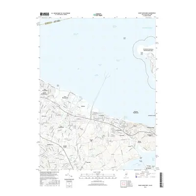
2016 Map of Sandy Hook West
USGS Topo · Published 2016About this map
Sandy Hook Bay and the northern tip of the New Jersey coastline define this maritime landscape, where the Atlantic Ocean meets the deep-water access of Raritan Bay Channel. The shoreline is heavily shaped by commercial and recreational nautical activity, evidenced by the Atlantic Highlands Yacht Harbor, Belford Harbor, and Leonardo Harbor. Inland, the terrain rises toward the residential heights of Atlantic Highlands and Monmouth Hills, while the southern portion of the map is bordered by the Navesink River and the Oceanic Bridge.
Find a feature on this map
70 named features on this map. Tap any name to fly to it.
Don’t see what you’re looking for? This feature index may not catch every label — zoom into the map to look around manually.
Map Details
Editions of this 2016 Sandy Hook West Map
This is the sole edition of this map. No revisions or reprints were ever made.
Other maps of this area

1888 · Sandy Hook
USGS Topo · 1:62,500

1889 · Brooklyn
USGS Topo · 1:62,500

1891 · Brooklyn
USGS Topo · 1:62,500

1893 · Sandy Hook
USGS Topo · 1:62,500

1897 · Brooklyn
USGS Topo · 1:62,500

1898 · Staten Island
USGS Topo · 1:62,500

1898 · Brooklyn
USGS Topo · 1:62,500

1900 · Passaic
USGS Topo · 1:125,000

1900 · Staten Island
USGS Topo · 1:62,500

1900 · Brooklyn
USGS Topo · 1:62,500