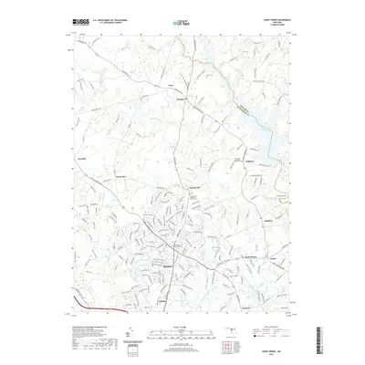
2019 Map of Sandy Spring
USGS Topo · Published 2019About this map
Olney and its surrounding suburban communities sit at the center of this Maryland landscape, showing the modern layout of residential development alongside significant historic sites. The area is defined by its religious and social landmarks, including the Saint Lukes Episcopal Church near Brighton and the Salem United Methodist Church in Brookeville. These established institutions, along with cemeteries like Mt Carmel Cemetery, reflect the long-standing settlement patterns of Montgomery County.
Find a feature on this map
194 named features on this map. Tap any name to fly to it.
Don’t see what you’re looking for? This feature index may not catch every label — zoom into the map to look around manually.
Map Details
Editions of this 2019 Sandy Spring Map
This is the sole edition of this map. No revisions or reprints were ever made.
Other maps of this area

1892 · Laurel
USGS Topo · 1:62,500

1892 · Ellicott
USGS Topo · 1:62,500

1893 · Frederick
USGS Topo · 1:125,000

1894 · Ellicott
USGS Topo · 1:62,500

1894 · Laurel
USGS Topo · 1:62,500

1894 · Frederick
USGS Topo · 1:125,000

1897 · Laurel
USGS Topo · 1:62,500

1906 · Ellicott
USGS Topo · 1:62,500

1907 · Laurel
USGS Topo · 1:62,500

1908 · Patapsco
USGS Topo · 1:125,000