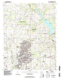
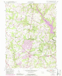
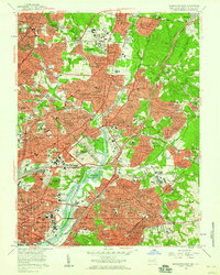
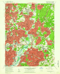
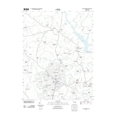
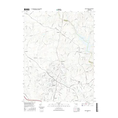
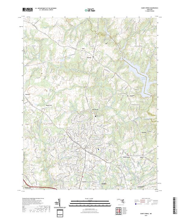
1988 Map of Sandy Spring
USGS Topo · Published 1996About this map
Olney serves as the central hub of this late-twentieth-century landscape, showing significant residential development contrasted with protected environmental spaces. To the north, the Rachel Carson Conservation Park and Hawlings River Regional Stream Valley Park preserve the corridor of the Hawlings River, which feeds into the Triadelphia Reservoir at the Montgomery and Howard county line.
Find a feature on this map
55 named features on this map. Tap any name to fly to it.
Don’t see what you’re looking for? This feature index may not catch every label — zoom into the map to look around manually.
Map Details
Editions of this 1988 Sandy Spring Map
This is the sole edition of this map. No revisions or reprints were ever made.
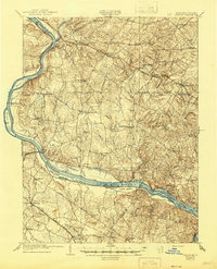
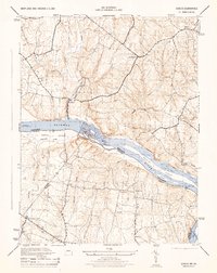
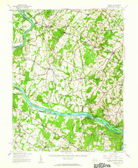
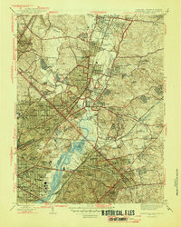
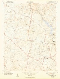
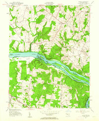
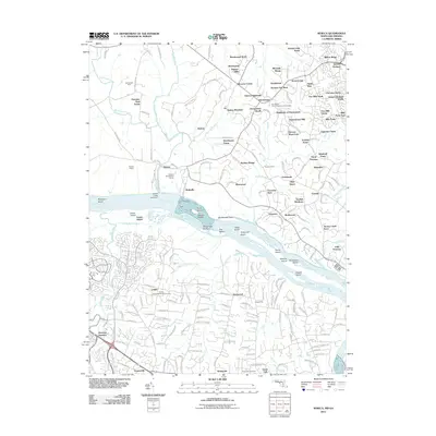
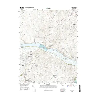
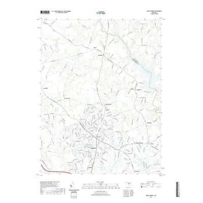
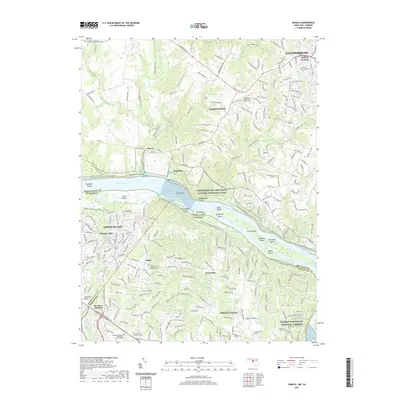
Historical Maps of Olney Through Time
24 maps found
1908 Seneca
Montgomery County, MD
1944 Seneca
Montgomery County, MD
1944 Seneca
Montgomery County, MD
1945 Sandy Spring
Montgomery County, MD
1945 Washington East
Montgomery County, MD
1950 Sandy Spring
Montgomery County, MD

1951 Washington East
Montgomery County, MD
1952 Seneca
Montgomery County, MD
1956 Washington East
Montgomery County, MD
1957 Washington East
Montgomery County, MD

1968 Seneca
Montgomery County, MD
1981 Sandy Spring
Montgomery County, MD
1988 Sandy Spring
Montgomery County, MD
1994 Seneca
Montgomery County, MD
2011 Sandy Spring
Montgomery County, MD
2011 Seneca
Montgomery County, MD
2014 Sandy Spring
Montgomery County, MD
2014 Seneca
Montgomery County, MD
2016 Sandy Spring
Montgomery County, MD
2016 Seneca
Montgomery County, MD
2019 Sandy Spring
Montgomery County, MD
2019 Seneca
Montgomery County, MD
2023 Sandy Spring
Montgomery County, MD
2023 Seneca
Montgomery County, MD