1980 Map of Sanford
USGS Topo · Published 1983About this map
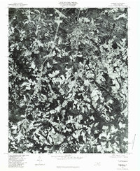
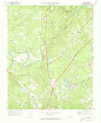
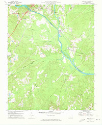
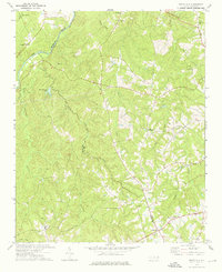
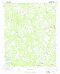
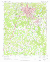
Sanford is the dominant urban center on this orthophotomap, showing the city's residential and industrial footprint as it expanded southward at the start of the 1980s. The aerial imagery captures the distinct spatial relationship between the dense downtown core and outlying communities such as Tramway and Lemon Springs along the primary transportation corridors. The landscape is a complex mix of cleared agricultural fields and dense woodland, punctuated by the winding paths of Buffalo Creek and the Little River. For researchers, this photographic record offers a rare view of the exact land use and structural development near Cool Springs before modern suburban infill. By using rectified aerial photography instead of traditional topographic symbols, the map provides a literal view of the terrain, property divisions, and tree lines of Lee County during this era.
Find a feature on this map
6 named features on this map. Tap any name to fly to it.
Don’t see what you’re looking for? This feature index may not catch every label — zoom into the map to look around manually.
Map Details
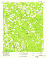
Editions of this 1980 Sanford Map
This is the sole edition of this map. No revisions or reprints were ever made.
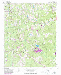
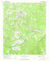
Other maps of this area

1953 · Raleigh
USGS Topo · 1:250,000

1954 · Raleigh
USGS Topo · 1:250,000
1957 · Murchisontown
USGS Topo · 1:24,000
1957 · Olivia
USGS Topo · 1:24,000
1970 · Goldston
USGS Topo · 1:24,000
1970 · Colon
USGS Topo · 1:24,000
1970 · Moncure
USGS Topo · 1:24,000
1974 · White Hill
USGS Topo · 1:24,000
1974 · Vass
USGS Topo · 1:24,000
1974 · Sanford
USGS Topo · 1:24,000