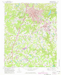
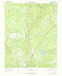
1974 Map of Sanford
USGS Topo · Published 1982About this map
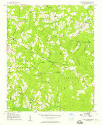
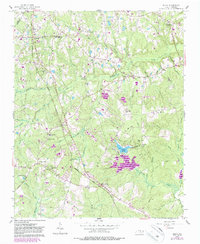
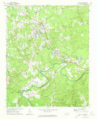
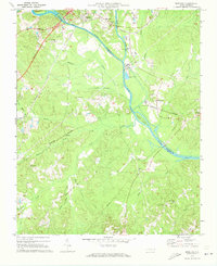
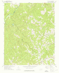
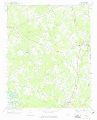
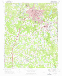
The railroad junction at Sanford serves as a major logistical hub for Lee County, where the Southern and Atlantic and Western lines intersect. This era of development is characterized by the expansion of Jonesboro Heights and the growth of educational infrastructure like the Central Carolina Technical Institute. To the south, the landscape transitions into smaller settlements and agricultural tracts, notably around Tramway and Lemon Springs, where the Seaboard Coast Line runs parallel to the headwaters of the Upper Little River.
Find a feature on this map
44 named features on this map. Tap any name to fly to it.
Don’t see what you’re looking for? This feature index may not catch every label — zoom into the map to look around manually.
Map Details
Editions of this 1974 Sanford Map
2 editions found
Other maps of this area

1953 · Raleigh
USGS Topo · 1:250,000

1954 · Raleigh
USGS Topo · 1:250,000
1957 · Murchisontown
USGS Topo · 1:24,000
1957 · Olivia
USGS Topo · 1:24,000
1970 · Goldston
USGS Topo · 1:24,000
1970 · Colon
USGS Topo · 1:24,000
1970 · Moncure
USGS Topo · 1:24,000
1974 · White Hill
USGS Topo · 1:24,000
1974 · Vass
USGS Topo · 1:24,000
1974 · Sanford
USGS Topo · 1:24,000