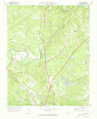
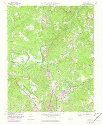
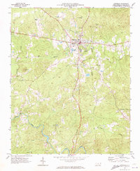
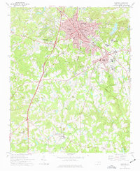
1970 Map of Colon
USGS Topo · Published 1973About this map
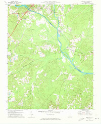
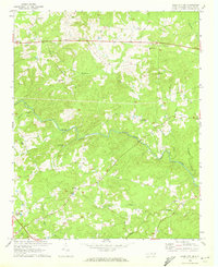
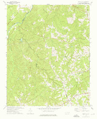
Industrial extraction and river geography define this section of Lee and Chatham counties, centered on the confluence of the Rocky River and Deep River. The landscape reflects a mix of traditional community centers and modern developments, such as the Drag Strip and Golf Course near Sanford. Along the Southern and Seaboard Coast Line railroads, the map identifies small settlements like Colon and Cumnock, alongside several Claypit sites that point to the area's brickmaking or ceramic history. Notable social landmarks include the Deep River High Sch and a variety of rural houses of worship, from Taylors Ch in the north to Community Chapel further south. The Farmville Cem and Lee Memory Gardens provide localized focus for genealogical research within this 1970 landscape.
Find a feature on this map
39 named features on this map. Tap any name to fly to it.
Don’t see what you’re looking for? This feature index may not catch every label — zoom into the map to look around manually.
Map Details
Editions of this 1970 Colon Map
2 editions found
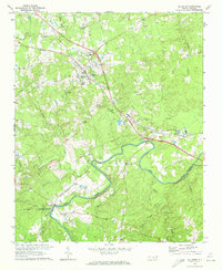
Other maps of this area

1953 · Raleigh
USGS Topo · 1:250,000

1954 · Raleigh
USGS Topo · 1:250,000
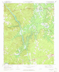
1969 · New Hope Dam
USGS Topo · 1:24,000
1970 · Goldston
USGS Topo · 1:24,000
1970 · Pittsboro
USGS Topo · 1:24,000
1970 · Moncure
USGS Topo · 1:24,000
1970 · Siler City NE
USGS Topo · 1:24,000
1974 · White Hill
USGS Topo · 1:24,000
1974 · Sanford
USGS Topo · 1:24,000
1977 · Broadway
USGS Topo · 1:24,000