
1974 Map of White Hill
USGS Topo · Published 1976About this map
Deep River winds through the northwestern corner of this landscape, marking a prominent natural boundary in a terrain defined by an intricate network of waterways. Small rural communities and crossroads are anchored by local congregations, including Euphronia Ch, Poplar Springs Ch, and Ephesus Ch, which served as the social and spiritual hubs for families in the area during the mid-1970s. The settlement of White Hill sits near the southern edge, where the boundary between Moore Co Lee Co divides the rolling land.
Find a feature on this map
24 named features on this map. Tap any name to fly to it.
Don’t see what you’re looking for? This feature index may not catch every label — zoom into the map to look around manually.
Map Details
Editions of this 1974 White Hill Map
This is the sole edition of this map. No revisions or reprints were ever made.
Other maps of this area

1953 · Raleigh
USGS Topo · 1:250,000

1954 · Raleigh
USGS Topo · 1:250,000

1957 · Murchisontown
USGS Topo · 1:24,000

1970 · Goldston
USGS Topo · 1:24,000

1970 · Colon
USGS Topo · 1:24,000

1970 · Bear Creek
USGS Topo · 1:24,000
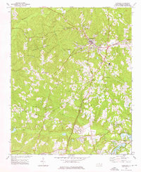
1974 · Carthage
USGS Topo · 1:24,000
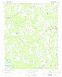
1974 · Vass
USGS Topo · 1:24,000

1974 · Putnam
USGS Topo · 1:24,000

1974 · Sanford
USGS Topo · 1:24,000