
1970 Map of Goldston
USGS Topo · Published 1972About this map
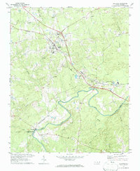
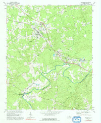
The Deep River carves a winding path through the southern half of this landscape, forming the natural boundary between Chatham, Moore, and Lee counties. Near the river’s edge, the village of Carbonton sits just north of a local boat ramp, while further east, the community of Gulf serves as a junction for the Norfolk Southern and Southern railroads. These rail lines are central to the area's mid-century industry, connecting several quarries and claypits scattered near the tracks.
Find a feature on this map
35 named features on this map. Tap any name to fly to it.
Don’t see what you’re looking for? This feature index may not catch every label — zoom into the map to look around manually.
Map Details
Editions of this 1970 Goldston Map
3 editions found
Other maps of this area

1953 · Raleigh
USGS Topo · 1:250,000

1954 · Raleigh
USGS Topo · 1:250,000

1969 · Siler City
USGS Topo · 1:24,000

1970 · Pittsboro
USGS Topo · 1:24,000

1970 · Colon
USGS Topo · 1:24,000

1970 · Bear Creek
USGS Topo · 1:24,000

1970 · Siler City NE
USGS Topo · 1:24,000

1974 · White Hill
USGS Topo · 1:24,000

1974 · Putnam
USGS Topo · 1:24,000

1974 · Sanford
USGS Topo · 1:24,000