
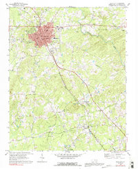
1969 Map of Siler City
USGS Topo · Published 1973About this map
Siler City serves as the industrial and civic anchor of this central North Carolina landscape, where the Southern railroad corridor dictates the region's development. The town's grid is dense with mid-century landmarks, including City Hall, the Post Office, and the campus of Jordan-Matthews High School. Beyond the municipal core, the terrain transitions into a mosaic of rural communities and timberland, shaped by a network of drainage systems like Loves Creek and Tick Creek.
Find a feature on this map
42 named features on this map. Tap any name to fly to it.
Don’t see what you’re looking for? This feature index may not catch every label — zoom into the map to look around manually.
Map Details
Editions of this 1969 Siler City Map
2 editions found
Other maps of this area

1953 · Raleigh
USGS Topo · 1:250,000

1954 · Raleigh
USGS Topo · 1:250,000

1968 · Coleridge
USGS Topo · 1:24,000

1968 · Bennett
USGS Topo · 1:24,000

1970 · Goldston
USGS Topo · 1:24,000

1970 · Bear Creek
USGS Topo · 1:24,000

1970 · Siler City NE
USGS Topo · 1:24,000

1974 · Silk Hope
USGS Topo · 1:24,000

1974 · Crutchfield Crossroads
USGS Topo · 1:24,000
1974 · Liberty
USGS Topo · 1:24,000