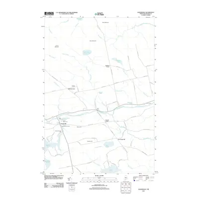
2011 Map of Sangerville
USGS Topo · Published 2011About this map
Sangerville serves as a focal point along the Piscataquis River, where the historic Lows Bridge spans the water near the junction of Salmon Stream. The settlement pattern in this part of Piscataquis County is defined by small crossroads and upland corners, including Dunham Corner, Howard Corner, and East Sangerville. These communities are connected by a network of named ways like Douty Hill Rd and Guilford Center Rd, which navigate a terrain marked by prominent heights such as Buker Mountain and Flanders Hill.
Find a feature on this map
77 named features on this map. Tap any name to fly to it.
Don’t see what you’re looking for? This feature index may not catch every label — zoom into the map to look around manually.
Map Details
Editions of this 2011 Sangerville Map
This is the sole edition of this map. No revisions or reprints were ever made.
Other maps of this area

1932 · Dover-Foxcroft
USGS Topo · 1:48,000

1933 · Guilford
USGS Topo · 1:62,500

1935 · Dover-Foxcroft
USGS Topo · 1:62,500

1937 · Guilford
USGS Topo · 1:62,500

1940 · Sebec
USGS Topo · 1:48,000

1943 · Sebec
USGS Topo · 1:62,500

1950 · Sebec Lake
USGS Topo · 1:62,500

1954 · Millinocket
USGS Topo · 1:250,000

1958 · Millinocket
USGS Topo · 1:250,000

1960 · Millinocket
USGS Topo · 1:250,000