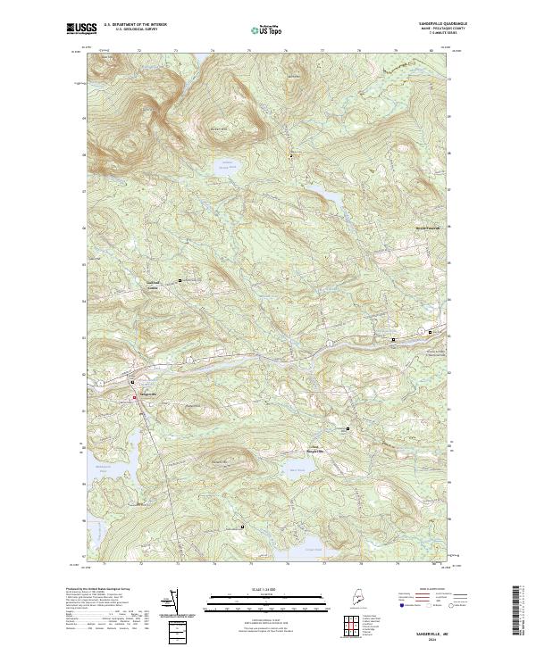
2024 Map of Sangerville
USGS Topo · Published 2024About this map
The Piscataquis River flows through the heart of this landscape, connecting the village of Sangerville with neighboring Guilford Center and Dover-Foxcroft. This contemporary topographic survey documents the enduring settlement patterns of Piscataquis County, where local history is anchored by several rural burying grounds including Village Cem, Rural Grove Cem, and Town House Cem. The mapping of the Old Railroad Grade north of the river offers a clear trace of the region's former industrial transport network, now superseded by modern routes like Water St and Flanders Hill Rd.
Find a feature on this map
88 named features on this map. Tap any name to fly to it.
Don’t see what you’re looking for? This feature index may not catch every label — zoom into the map to look around manually.
Map Details
Editions of this 2024 Sangerville Map
This is the sole edition of this map. No revisions or reprints were ever made.
Other maps of this area

1932 · Dover-Foxcroft
USGS Topo · 1:48,000

1933 · Guilford
USGS Topo · 1:62,500

1935 · Dover-Foxcroft
USGS Topo · 1:62,500

1937 · Guilford
USGS Topo · 1:62,500

1940 · Sebec
USGS Topo · 1:48,000

1943 · Sebec
USGS Topo · 1:62,500

1950 · Sebec Lake
USGS Topo · 1:62,500

1954 · Millinocket
USGS Topo · 1:250,000

1958 · Millinocket
USGS Topo · 1:250,000

1960 · Millinocket
USGS Topo · 1:250,000