2025 Map of Sanibel
USGS Topo · Published 2025About this map
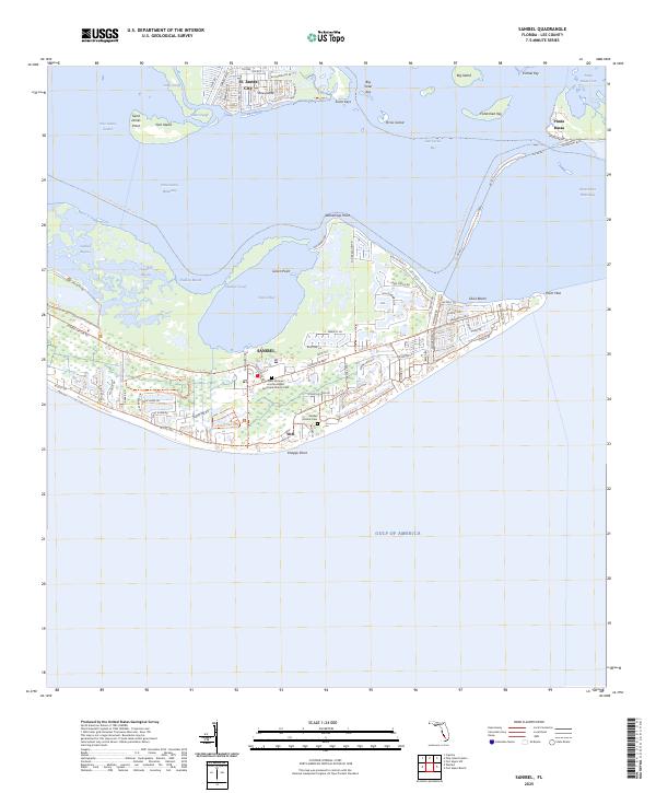
Sanibel island and the surrounding waters of San Carlos Bay define this coastal landscape, where the barrier island's unique orientation faces the Gulf of America. The map documents a sophisticated network of conservation and recreation trails, including the Florida Circumnavigational Paddling Trl and the Sanibel-Captiva Conservation Lands Trl, weaving through wetlands and bayous. Significant local heritage is anchored at the Sanibel Historic Cem and the Saint Michael and All Angels Episcopal Church Cem. To the north, the southern tip of Pine Island is home to St. James City, separated from the main island by the Intracoastal Waterway. The eastern shore features Punta Rassa, a historically strategic point guarding the entrance to the Okeechobee Waterway. This survey illustrates the modern layout of Ybel and Dixie Beach amidst sensitive tidal environments like Tarpon Bay.
Find a feature on this map
86 named features on this map. Tap any name to fly to it.
Don’t see what you’re looking for? This feature index may not catch every label — zoom into the map to look around manually.
Map Details
Editions of this 2025 Sanibel Map
This is the sole edition of this map. No revisions or reprints were ever made.
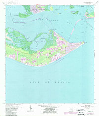
Historical Maps of Ybel Through Time
Featured Locations
- Shangri-La Mobile Home Park, FL
- Saint James Mobile Home Park, FL
- Sanibel, FL
- Punta Rassa Condos, Punta Rassa
- Ybel, Sanibel