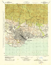
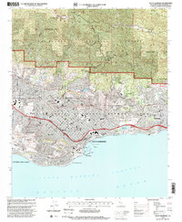
1944 Map of Santa Barbara
USGS Topo · Published 1944About this map
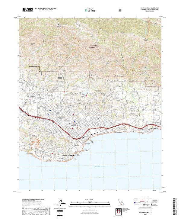
Santa Barbara is depicted during the peak of World War II, revealing a coastal city defined by its historic architecture and wartime infrastructure. The presence of the Hoff General Hospital (Army) and the sprawling Mesa Oil Field highlights the era's critical medical and industrial needs. Traditional landmarks such as the Santa Barbara Mission and Stearns Wharf anchor the downtown grid, which is bordered by the Southern Pacific railroad line.
Find a feature on this map
43 named features on this map. Tap any name to fly to it.
Don’t see what you’re looking for? This feature index may not catch every label — zoom into the map to look around manually.
Map Details
Editions of this 1944 Santa Barbara Map
This is the sole edition of this map. No revisions or reprints were ever made.
Historical Maps of Santa Barbara Through Time
9 maps found
1944 Santa Barbara
Santa Barbara County, CA
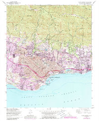
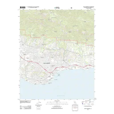
1952 Santa Barbara
Santa Barbara County, CA
1976 Santa Barbara
Santa Barbara County, CA
1982 Santa Barbara
Santa Barbara County, CA
1995 Santa Barbara
Santa Barbara County, CA
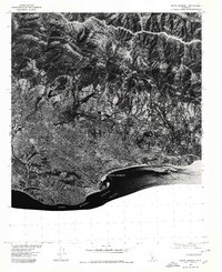
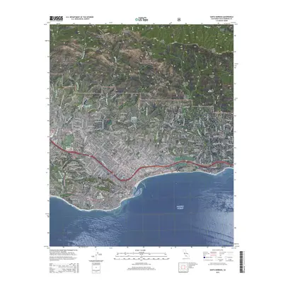
2012 Santa Barbara
Santa Barbara County, CA
2015 Santa Barbara
Santa Barbara County, CA
2018 Santa Barbara
Santa Barbara County, CA
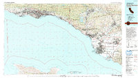
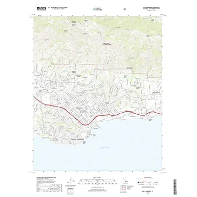
2022 Santa Barbara
Santa Barbara County, CA
Featured Locations
- Santa Barbara, CA
- Mission Canyon, CA
- Montecito, CA
- Las Positas Meadows, Santa Barbara
- Vista Del Monte, Santa Barbara