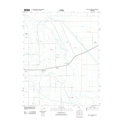
2012 Map of Santa Rita Bridge
USGS Topo · Published 2012About this map
The San Joaquin River winds through this Central Valley landscape, defining the character of an area dominated by large-scale agricultural operations and complex water management. In the early 21st century, the region around Santa Rita Park remains a patchwork of established agricultural properties, including Santa Rita Ranch, Lucerne Ranch, and Temple Ranch. The intricate network of irrigation and drainage is evident through features like the Temple Santa Rita Canal, Eastside Bypass, and the Diversion Canal, which manage the seasonal flow of water across the valley floor. Transportation and utility are central to the area's layout, anchored by the Santa Rita Bridge and a series of private airstrips such as Willis Ranch Airport and the Azevedo Landing Strip. The presence of named operations like Colony Farm and Liberty Farm reflects a history of organized land development and commercial farming in Merced County.
Find a feature on this map
76 named features on this map. Tap any name to fly to it.
Don’t see what you’re looking for? This feature index may not catch every label — zoom into the map to look around manually.
Map Details
Editions of this 2012 Santa Rita Bridge Map
This is the sole edition of this map. No revisions or reprints were ever made.
Other maps of this area
1913 · Panoche
USGS Topo · 1:125,000
1916 · Santa Rita Bridge
USGS Topo · 1:24,000
1916 · Delta Ranch
USGS Topo · 1:24,000
1918 · Bliss Ranch
USGS Topo · 1:31,680
1918 · Lingard
USGS Topo · 1:31,680
1918 · Sandy Mush
USGS Topo · 1:31,680
1918 · Turner Ranch
USGS Topo · 1:31,680
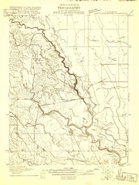
1920 · Santa Rita Bridge
USGS Topo · 1:31,680
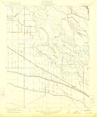
1922 · Oxalis
USGS Topo · 1:31,680
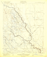
1922 · Santa Rita Bridge
USGS Topo · 1:31,680