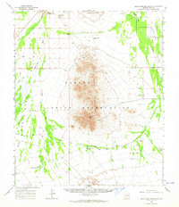
1963 Map of Santa Rosa Mountains
USGS Topo · Published 1964About this map
The Papago Indian Reservation dominates this desert landscape, where water sources dictate the pattern of human habitation. Named wells such as White Well, Akchin Well, and Albert Well are critical landmarks across the arid terrain, supporting small settlements like Komelik and Makgum Havoka. The central Santa Rosa Mountains rise sharply, punctuated by Gú Achi Peak and scattered mines or prospects that suggest historical mineral exploration.
Find a feature on this map
32 named features on this map. Tap any name to fly to it.
Don’t see what you’re looking for? This feature index may not catch every label — zoom into the map to look around manually.
Map Details
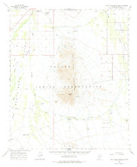
Editions of this 1963 Santa Rosa Mountains Map
2 editions found
Other maps of this area

1934 · Silver Bell
USGS Topo · 1:125,000

1937 · Comobabi
USGS Topo · 1:48,000

1938 · San Vicente
USGS Topo · 1:62,500

1941 · Vekol Mountains
USGS Topo · 1:62,500

1941 · San Vicente
USGS Topo · 1:62,500

1942 · Silver Reef Mountains
USGS Topo · 1:62,500

1942 · Vekol Mountains
USGS Topo · 1:62,500

1942 · San Vicente
USGS Topo · 1:62,500

1942 · Comobabi
USGS Topo · 1:62,500

1947 · Eloy
USGS Topo · 1:62,500