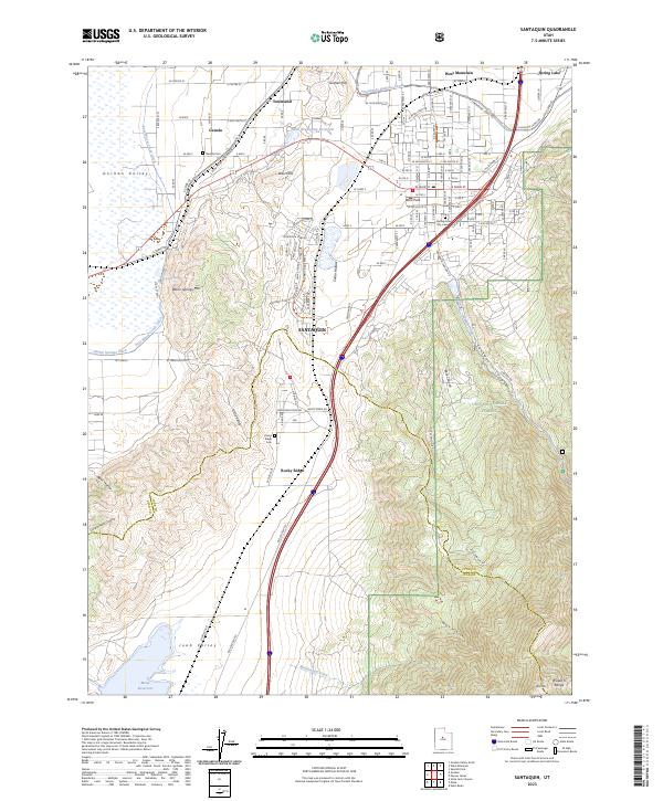
2023 Map of Santaquin
USGS Topo · Published 2023About this map
Santaquin stands at the base of the Wasatch Range, where the agriculture of the Goshen Valley meets the high peaks of the Uinta National Forest. This modern record reveals a sophisticated irrigation network vital to the region, including the Strawberry Highline Canal and Ewell Regulating Reservoir, which sustain local orchards and fields. For genealogists, the map provides precise locations for the Santaquin City Cem, Genola Cem, and Rocky Ridge Cem, anchoring family histories to specific plots of land.
Find a feature on this map
91 named features on this map. Tap any name to fly to it.
Don’t see what you’re looking for? This feature index may not catch every label — zoom into the map to look around manually.
Map Details
Editions of this 2023 Santaquin Map
This is the sole edition of this map. No revisions or reprints were ever made.
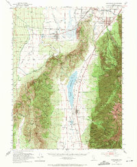
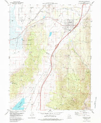
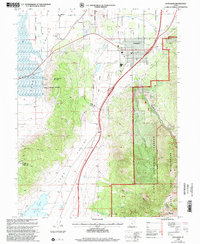
Historical Maps of Townsend Through Time
4 maps found