
1931 Map of Santo
USGS Topo · Published 1931About this map
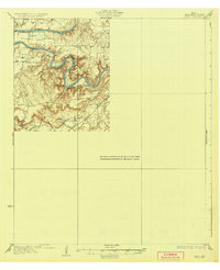
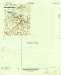
The Brazos River snakes in sharp, entrenched meanders through this portion of Palo Pinto County, creating a landscape defined by dramatic elevation changes and narrow river bends. In the mid-1920s, this area remained largely rural, organized around small community hubs marked by local schoolhouses. Educational centers like Village Bend Sch, Progress Sch, New Hope Sch, and Cottonwood Sch appear as the primary landmarks for scattered families. The Texas and Pacific railroad cuts through the southern terrain, paralleling Palo Pinto Creek and providing a vital industrial link to the ranching and farming lands near Rock Creek. This survey represents an era before significant modern development, where the winding river and the railroad dictated the placement of every small settlement.
Find a feature on this map
9 named features on this map. Tap any name to fly to it.
Don’t see what you’re looking for? This feature index may not catch every label — zoom into the map to look around manually.
Map Details
Editions of this 1931 Santo Map
3 editions found
Other maps of this area

1889 · Granbury
USGS Topo · 1:125,000

1890 · Stephenville
USGS Topo · 1:125,000

1891 · Weatherford
USGS Topo · 1:125,000

1891 · Palo Pinto
USGS Topo · 1:125,000

1893 · Weatherford
USGS Topo · 1:125,000

1918 · Palo Pinto
USGS Topo · 1:125,000

1920 · Stephenville
USGS Topo · 1:125,000

1925 · Palo Pinto 4-b
USGS Topo · 1:48,000

1927 · Pickwick
USGS Topo · 1:62,500

1927 · Mineral Wells
USGS Topo · 1:62,500