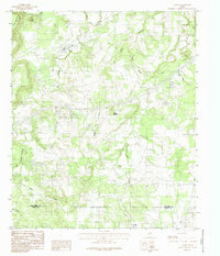
1984 Map of Santo
USGS Topo · Published 1987About this map
Santo sits at the northern end of this mid-1980s landscape, positioned near the meandering course of Pinto Creek and the southern slopes of Turkey Peak. The terrain is defined by a dense network of drainages and prominent elevations, including Clayton Mountain in the northwest and Bugle Mountain further south. The map documents the rural boundary where the Palo Pinto Co Erath Co line cuts across the southern portion of the quadrangle near the settlement of Patillo.
Find a feature on this map
14 named features on this map. Tap any name to fly to it.
Don’t see what you’re looking for? This feature index may not catch every label — zoom into the map to look around manually.
Map Details
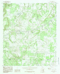
Editions of this 1984 Santo Map
2 editions found
Other maps of this area

1890 · Stephenville
USGS Topo · 1:125,000

1891 · Palo Pinto
USGS Topo · 1:125,000

1918 · Palo Pinto
USGS Topo · 1:125,000

1920 · Stephenville
USGS Topo · 1:125,000

1925 · Palo Pinto 4-b
USGS Topo · 1:48,000

1931 · Santo
USGS Topo · 1:62,500

1954 · Abilene
USGS Topo · 1:250,000

1958 · Abilene
USGS Topo · 1:250,000
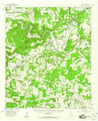
1959 · Lipan
USGS Topo · 1:62,500

1959 · Gordon
USGS Topo · 1:62,500