2025 Map of Sarasota
USGS Topo · Published 2025About this map
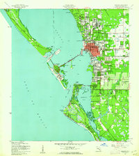
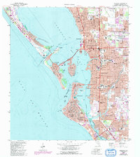
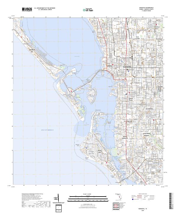
Sarasota and its surrounding keys form a dense network of coastal settlements and waterways along the Gulf of America. This 2025 survey details the developed shoreline from Indian Beach down to Siesta Key, where the Grand Canal and Coconut Bayou weave through residential islands. The map highlights the urban core's institutional infrastructure, including the Sarasota County Justice Center and the Ringling College of Art and Design campus. To the east, established neighborhoods like Kensington Park and Ridge Wood Heights are bounded by Phillippi Creek, showing the inland expansion of the city. The coastal geography is defined by narrow passages such as New Pass and Big Sarasota Pass, which separate the barrier islands of Lido Key and Long Boat Key from the mainland. This document provides a look at the modern layout of these islands, including the shopping and civic hubs of Saint Armands Key and Golden Gate Point.
Find a feature on this map
59 named features on this map. Tap any name to fly to it.
Don’t see what you’re looking for? This feature index may not catch every label — zoom into the map to look around manually.
Map Details
Editions of this 2025 Sarasota Map
This is the sole edition of this map. No revisions or reprints were ever made.
Historical Maps of North Sarasota Through Time
5 maps found