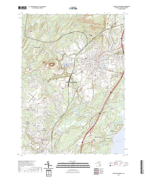
2023 Map of Saratoga Springs
USGS Topo · Published 2023About this map
Saratoga Springs sits at the heart of this contemporary landscape, anchored by the sprawling grounds of Skidmore College and the cultural retreat at Yaddo. The terrain is defined by the winding course of Kayaderosseras Creek as it flows toward the northwest corner of Saratoga Lake, while higher elevations like Pelton Hill and Malta Ridge break the valley floor. To the south, the industrial and civic heritage of Ballston Spa and North Ballston Spa is visible, alongside smaller historic clusters such as Factory Village and Milton. Genealogists will find a high density of burial grounds throughout the area, from the central Greenridge Cem and Saint Peter's Cem to more remote family and rural plots like Munger Cem, Daniel's Road Cem, and Scott Cem. The modern infrastructure of the Saratoga County Airport and the complex residential grid surrounding Haupt Pond reflect the region's continued growth as a prominent New York destination.
Find a feature on this map
291 named features on this map. Tap any name to fly to it.
Don’t see what you’re looking for? This feature index may not catch every label — zoom into the map to look around manually.
Map Details
Editions of this 2023 Saratoga Springs Map
This is the sole edition of this map. No revisions or reprints were ever made.
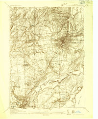
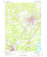
Historical Maps of Factory Village Through Time
3 maps found