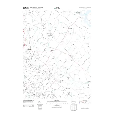
2013 Map of Sassamansville
USGS Topo · Published 2013About this map
The community of Sassamansville anchors this part of Montgomery County, where the landscape is defined by the winding course of Swamp Cr and its many tributaries. In the early 21st century, this area maintained a mix of established villages and newer residential clusters like Birchwood Terrace and Alto Grandview Acres. The presence of small aviation facilities, including Crosswinds Airfield and the Drewniany-Springmeadow Airport, reflects the semi-rural character of the region. Recreational land use is prominent, with several large grounds such as the Hickory Valley Golf Course and Gilbertsville Golf Course occupying significant acreage. Geologically and culturally unique features like Ringing Rocks near Pottsgrove stand out alongside older settlements such as New Hanover Square and Fagleysville, illustrating the long-term patterns of growth and land preservation in this section of Pennsylvania.
Find a feature on this map
279 named features on this map. Tap any name to fly to it.
Don’t see what you’re looking for? This feature index may not catch every label — zoom into the map to look around manually.
Map Details
Editions of this 2013 Sassamansville Map
This is the sole edition of this map. No revisions or reprints were ever made.
Other maps of this area

1888 · Quakertown
USGS Topo · 1:62,500

1890 · Quakertown
USGS Topo · 1:62,500

1894 · Quakertown
USGS Topo · 1:62,500

1894 · Norristown
USGS Topo · 1:62,500

1895 · Norristown
USGS Topo · 1:62,500

1896 · Norristown
USGS Topo · 1:62,500

1902 · Boyertown
USGS Topo · 1:62,500

1906 · Phoenixville
USGS Topo · 1:62,500

1942 · Norristown
USGS Topo · 1:125,000

1943 · Manatawny
USGS Topo · 1:31,680
Featured Places
- Pottstown, PA
- Limerick Township, PA
- New Hanover Township, PA
- Gilbertsville, Douglass Township
- Bechtelsville, PA