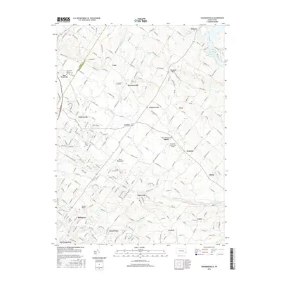
2016 Map of Sassamansville
USGS Topo · Published 2016About this map
The rolling landscape of Montgomery and Berks counties is defined by a dense network of suburban development and historical hamlets in this 2016 survey. Swamp Creek and Minister Creek drain the central region, where long-established centers like Sassamansville, Fagleysville, and New Hanover Square maintain their distinct identities amidst modern growth. The map captures several critical community sites for genealogists, including Swamp Cem, Saint Pauls Cem, and Saint Andrew United Methodist Cem. To the northeast, the Green Lane Reservoir and its surrounding parkland provide a significant hydrological break in the residential fabric. Aviation interest is noted by the presence of Drewniany-Springmeadow Airport and Crosswinds Airfield, reflecting the area's continued use for light private flight. The southern edge of the sheet transitions into the more industrial outskirts of Pottstown, marked by the Sanatoga area and the unique geological site of Ringing Rocks.
Find a feature on this map
229 named features on this map. Tap any name to fly to it.
Don’t see what you’re looking for? This feature index may not catch every label — zoom into the map to look around manually.
Map Details
Editions of this 2016 Sassamansville Map
This is the sole edition of this map. No revisions or reprints were ever made.
Other maps of this area

1888 · Quakertown
USGS Topo · 1:62,500

1890 · Quakertown
USGS Topo · 1:62,500

1894 · Quakertown
USGS Topo · 1:62,500

1894 · Norristown
USGS Topo · 1:62,500

1895 · Norristown
USGS Topo · 1:62,500

1896 · Norristown
USGS Topo · 1:62,500

1902 · Boyertown
USGS Topo · 1:62,500

1906 · Phoenixville
USGS Topo · 1:62,500

1942 · Norristown
USGS Topo · 1:125,000

1943 · Manatawny
USGS Topo · 1:31,680
Featured Places
- Pottstown, PA
- Limerick Township, PA
- New Hanover Township, PA
- Gilbertsville, Douglass Township
- Bechtelsville, PA