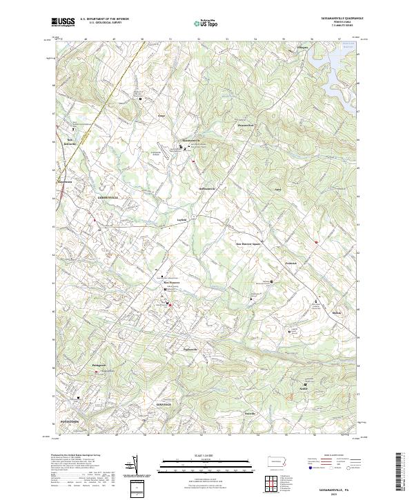
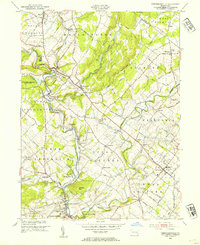
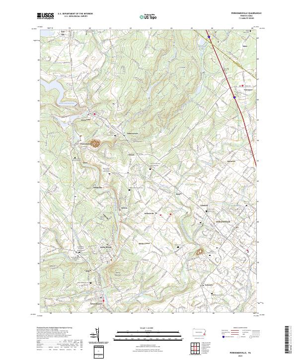
2023 Map of Sassamansville
USGS Topo · Published 2023About this map
Swamp Creek and its many tributaries, including Minister Creek and Schlegel Run, define the rolling topography of Montgomery County in this detailed survey. The landscape is characterized by a dense network of early crossroads settlements like Sassamansville, New Hanover, and Layfield, many of which grew around long-standing religious congregations. Genealogists will find a wealth of data in the numerous burial sites and churchyards, such as Falkner Swamp Reformed Church Cem and the Shalkop Burial Ground.
Find a feature on this map
254 named features on this map. Tap any name to fly to it.
Don’t see what you’re looking for? This feature index may not catch every label — zoom into the map to look around manually.
Map Details
Editions of this 2023 Sassamansville Map
This is the sole edition of this map. No revisions or reprints were ever made.
Historical Maps of Anise Through Time
14 maps found

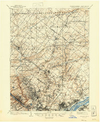
1893 Germantown
Montgomery County, PA

1894 Germantown
Montgomery County, PA

1896 Germantown
Montgomery County, PA
1899 Germantown
Montgomery County, PA
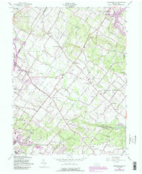
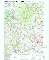
1943 Perkiomenville
Montgomery County, PA
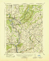
1943 Sassamansville
Montgomery County, PA
1953 Perkiomenville
Montgomery County, PA
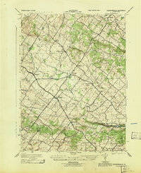
1957 Sassamansville
Montgomery County, PA
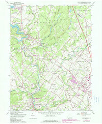
1960 Perkiomenville
Montgomery County, PA
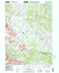
1992 Perkiomenville
Montgomery County, PA
1997 Perkiomenville
Montgomery County, PA
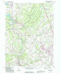
1999 Sassamansville
Montgomery County, PA
2023 Perkiomenville
Montgomery County, PA
2023 Sassamansville
Montgomery County, PA
Featured Locations
- New Hanover Township, PA
- Limerick Township, PA
- Pottstown, PA
- Bechtelsville, PA
- Gilbertsville, Douglass Township