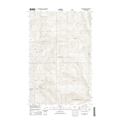
2014 Map of Sauk Mountain
USGS Topo · Published 2014About this map
Mount Baker National Forest encompasses the vast majority of this 2014 survey, dominated by the high-elevation terrain of the North Cascades. The map highlights the prominent peak of Sauk Mountain and its associated Sauk Mountain Lookout, a key point for fire observation and backcountry recreation accessed via the Sauk Mountain Trailhead. The landscape is defined by a complex drainage system where numerous creeks, including Jackman Creek and Thunder Creek, carve through the steep ridges.
Find a feature on this map
38 named features on this map. Tap any name to fly to it.
Don’t see what you’re looking for? This feature index may not catch every label — zoom into the map to look around manually.
Map Details
Editions of this 2014 Sauk Mountain Map
This is the sole edition of this map. No revisions or reprints were ever made.
Other maps of this area

1899 · Glacier Peak
USGS Topo · 1:125,000

1899 · Stillaguamish
USGS Topo · 1:125,000

1901 · Glacier Peak
USGS Topo · 1:125,000

1901 · Stilaguamish
USGS Topo · 1:125,000

1909 · Mt Baker
USGS Topo · 1:192,000

1915 · Mt. Baker
USGS Topo · 1:250,000

1952 · Lake Shannon
USGS Topo · 1:62,500

1953 · Marblemount
USGS Topo · 1:62,500

1955 · Concrete
USGS Topo · 1:250,000

1958 · Concrete
USGS Topo · 1:250,000