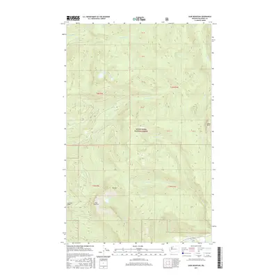
2017 Map of Sauk Mountain
USGS Topo · Published 2017About this map
Mount Baker National Forest contains the high-elevation terrain of the Skagit Range, where glacial lakes and steep drainage basins define the watershed. Elevation peaks at the namesake Sauk Mountain and nearby Bald Mtn, with the landscape falling away into deep valleys carved by Jackman Cr and Thunder Cr. Several alpine water bodies, including Sauk Lake, Lake Stilwell, and Edgar Lake, are tucked into high cirques, while the southern boundary of the map follows the course of the Skagit River. This 2017 survey reflects a wilderness area dominated by United States Forest Service management, showing the network of forest roads and trails that provide access to Jackman Ridge and the dramatic peaks of Helen Buttes. The mapping of these drainages, such as Sutter Cr and Patent Cr, illustrates the complex hydrology that feeds the lower Skagit valley.
Find a feature on this map
25 named features on this map. Tap any name to fly to it.
Don’t see what you’re looking for? This feature index may not catch every label — zoom into the map to look around manually.
Map Details
Editions of this 2017 Sauk Mountain Map
This is the sole edition of this map. No revisions or reprints were ever made.
Other maps of this area

1899 · Glacier Peak
USGS Topo · 1:125,000

1899 · Stillaguamish
USGS Topo · 1:125,000

1901 · Glacier Peak
USGS Topo · 1:125,000

1901 · Stilaguamish
USGS Topo · 1:125,000

1909 · Mt Baker
USGS Topo · 1:192,000

1915 · Mt. Baker
USGS Topo · 1:250,000

1952 · Lake Shannon
USGS Topo · 1:62,500

1953 · Marblemount
USGS Topo · 1:62,500

1955 · Concrete
USGS Topo · 1:250,000

1958 · Concrete
USGS Topo · 1:250,000