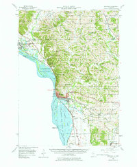
1952 Map of Savanna
USGS Topo · Published 1977About this map
The Mississippi River corridor dominates this 1950s landscape, where the massive Savanna Ordnance Depot and the Upper Mississippi River Wildlife and Fish Refuge occupy the complex riverfront terrain of sloughs and islands. The city of Savanna serves as a critical rail hub, where the Chicago Burlington and Quincy and Chicago Milwaukee St Paul and Pacific railroads converge along the bluffs.
Find a feature on this map
67 named features on this map. Tap any name to fly to it.
Don’t see what you’re looking for? This feature index may not catch every label — zoom into the map to look around manually.
Map Details
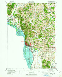
Editions of this 1952 Savanna Map
3 editions found

Other maps of this area

1891 · Clinton
USGS Topo · 1:62,500

1892 · Goose Lake
USGS Topo · 1:62,500

1892 · Savanna
USGS Topo · 1:62,500

1894 · Goose Lake
USGS Topo · 1:62,500

1894 · Clinton
USGS Topo · 1:62,500

1899 · Clinton
USGS Topo · 1:125,000

1911 · Elizabeth
USGS Topo · 1:62,500

1911 · Galena
USGS Topo · 1:62,500

1913 · Galena
USGS Topo · 1:62,500

1934 · Morrison
USGS Topo · 1:48,000