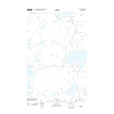
2013 Map of Sayner
USGS Topo · Published 2013About this map
Sayner serves as the primary settlement in this lake-heavy portion of northern Wisconsin, where the landscape is defined by an intricate network of glacial kettle lakes and streams. The town site is situated between W Plum Lake and Plum Creek, with the established Plum Lake Golf Course just to the east. The dominance of water features like Big Saint Germain Lake, Little Arbor Vitae Lake, and the winding Saint Germain River highlights a region long-favored for recreation and seasonal residency.
Find a feature on this map
84 named features on this map. Tap any name to fly to it.
Don’t see what you’re looking for? This feature index may not catch every label — zoom into the map to look around manually.
Map Details
Editions of this 2013 Sayner Map
This is the sole edition of this map. No revisions or reprints were ever made.
Other maps of this area

1930 · Robbins
USGS Topo · 1:48,000

1938 · Minocqua
USGS Topo · 1:48,000

1938 · Robbins
USGS Topo · 1:48,000

1939 · Trout Lake
USGS Topo · 1:48,000

1945 · Robbins
USGS Topo · 1:48,000

1946 · Star Lake
USGS Topo · 1:48,000

1946 · Minocqua
USGS Topo · 1:48,000

1946 · Trout Lake
USGS Topo · 1:48,000

1949 · Trout Lake
USGS Topo · 1:48,000

1949 · Minocqua
USGS Topo · 1:48,000