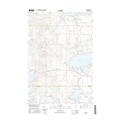
2015 Map of Sayner
USGS Topo · Published 2015About this map
Sayner serves as the central hub of this Northwoods landscape, situated near the northern shore of the expansive Plum Lake. The area is defined by a dense concentration of glacial water bodies, ranging from the large Big Saint Germain Lake and Little Arbor Vitae Lake to smaller, secluded basins like Witches Lake and Bittersweet Lake. The drainage network is equally intricate, with the Saint Germain River and Plum Cr carving through the terrain.
Find a feature on this map
100 named features on this map. Tap any name to fly to it.
Don’t see what you’re looking for? This feature index may not catch every label — zoom into the map to look around manually.
Map Details
Editions of this 2015 Sayner Map
This is the sole edition of this map. No revisions or reprints were ever made.
Other maps of this area

1930 · Robbins
USGS Topo · 1:48,000

1938 · Minocqua
USGS Topo · 1:48,000

1938 · Robbins
USGS Topo · 1:48,000

1939 · Trout Lake
USGS Topo · 1:48,000

1945 · Robbins
USGS Topo · 1:48,000

1946 · Star Lake
USGS Topo · 1:48,000

1946 · Minocqua
USGS Topo · 1:48,000

1946 · Trout Lake
USGS Topo · 1:48,000

1949 · Trout Lake
USGS Topo · 1:48,000

1949 · Minocqua
USGS Topo · 1:48,000