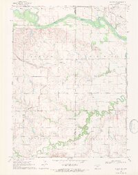
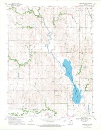
1969 Map of Scandia NW
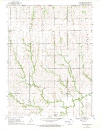
USGS Topo · Published 1971This historical map portrays the area of Scandia NW in 1969, primarily covering Jewell County as well as portions of Republic County. Featuring a scale of 1:24000, this map provides a highly detailed snapshot of the terrain, roads, buildings, counties, and historical landmarks in the Scandia NW region at the time. Published in 1971, it is the sole known edition of this map.
Find a feature on this map
27 named features on this map. Tap any name to fly to it.
Don’t see what you’re looking for? This feature index may not catch every label — zoom into the map to look around manually.
Map Details
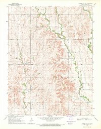
Editions of this 1969 Scandia NW Map
This is the sole edition of this map. No revisions or reprints were ever made.
Historical Maps of White Rock Through Time
10 maps found
1962 Glen Elder North
Jewell County, KS
1962 Jewell SE
Jewell County, KS

1962 Jewell SW
Jewell County, KS
1968 Burr Oak NW
Jewell County, KS
1968 Jamestown NW
Jewell County, KS
1969 Cawker City NW
Jewell County, KS
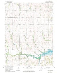
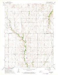
1969 Mankato NW
Jewell County, KS
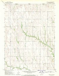
1969 Montrose
Jewell County, KS
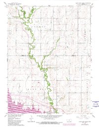
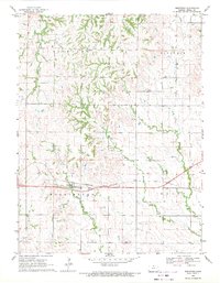
1969 North Branch
Jewell County, KS
1969 Scandia NW
Jewell County, KS