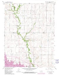
1962 Map of Glen Elder North
USGS Topo · Published 1980About this map
Limestone Creek meanders through the heart of north-central Kansas, carving a verdant path through the agricultural landscape along the border of Jewell and Mitchell counties. This 1960s-era survey captures the rural character of the Athens and Glen Elder townships, where small-town infrastructure like the Athens Sch and Athens Cem served a dispersed farming community. The southern portion of the map is dominated by the rising waters of Waconda Lake, a significant geographical shift for the region that altered the traditional drainage patterns of Frog Creek and the surrounding valley.
Find a feature on this map
18 named features on this map. Tap any name to fly to it.
Don’t see what you’re looking for? This feature index may not catch every label — zoom into the map to look around manually.
Map Details
Editions of this 1962 Glen Elder North Map
2 editions found
Other maps of this area

1894 · Mankato
USGS Topo · 1:125,000

1894 · Beloit
USGS Topo · 1:125,000

1953 · Solomon Rapids
USGS Topo · 1:24,000

1953 · Waconda Springs
USGS Topo · 1:24,000

1953 · Glen Elder South
USGS Topo · 1:24,000

1955 · Beloit
USGS Topo · 1:250,000

1959 · Beloit
USGS Topo · 1:250,000

1962 · Cawker City
USGS Topo · 1:24,000

1962 · Glen Elder North
USGS Topo · 1:24,000

1962 · Jewell SW
USGS Topo · 1:24,000