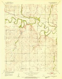
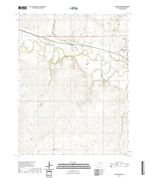
1953 Map of Solomon Rapids
USGS Topo · Published 1954About this map
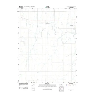
The Solomon River meanders sharply through this Mitchell County landscape, where the Missouri Pacific railroad tracks parallel the river's northern banks. In the early 1950s, the small community of Solomon Rapids served as a local hub, supported by a dense network of rural infrastructure that included the Solomon Rapids Sch and multiple quarries. The settlement pattern here is defined by a high concentration of one-room schoolhouses, such as Honey Creek Sch, Turkey Creek Sch, Roundtop Sch, and Humphrey Sch, indicating a well-populated agricultural district before the era of school consolidation.
Find a feature on this map
30 named features on this map. Tap any name to fly to it.
Don’t see what you’re looking for? This feature index may not catch every label — zoom into the map to look around manually.
Map Details
Editions of this 1953 Solomon Rapids Map
This is the sole edition of this map. No revisions or reprints were ever made.
Historical Maps of Beloit Through Time
42 maps found
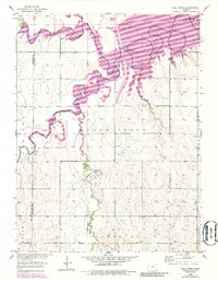
1952 Glasco SW
Mitchell County, KS
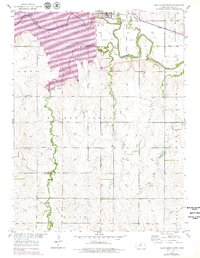
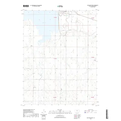
1953 Glen Elder South
Mitchell County, KS
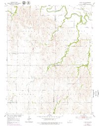
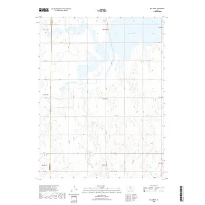
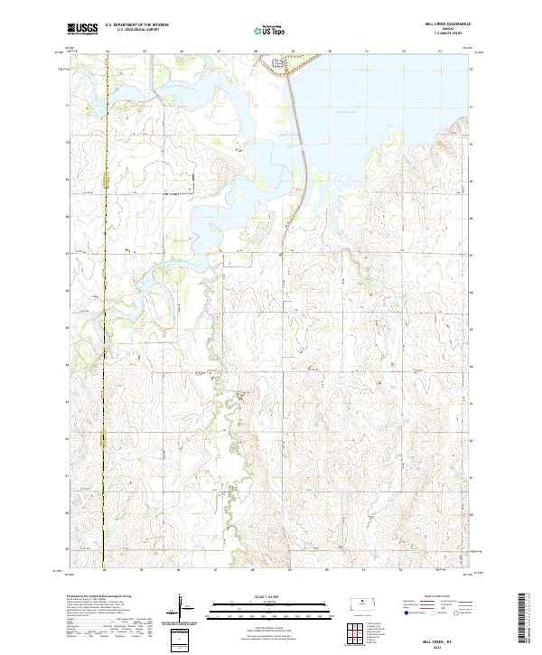
1953 Mill Creek
Mitchell County, KS
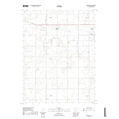
1953 Solomon Rapids
Mitchell County, KS
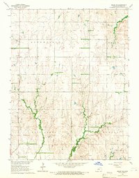
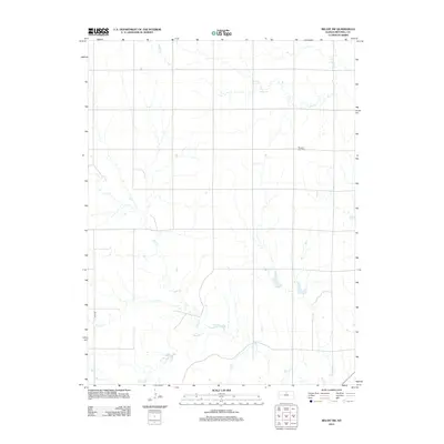
1964 Beloit SE
Mitchell County, KS
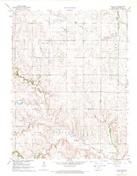
1968 Beloit SW
Mitchell County, KS
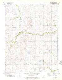
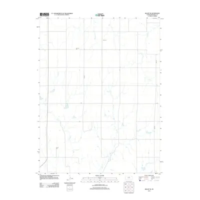
1978 Blue Hill
Mitchell County, KS
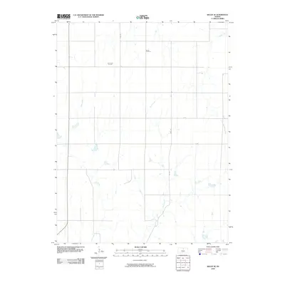
2009 Beloit SE
Mitchell County, KS
2009 Beloit SW
Mitchell County, KS
2009 Blue Hill
Mitchell County, KS
2009 Glasco SW
Mitchell County, KS
2009 Mill Creek
Mitchell County, KS
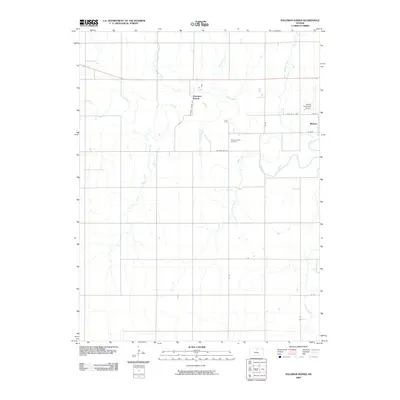
2009 Solomon Rapids
Mitchell County, KS
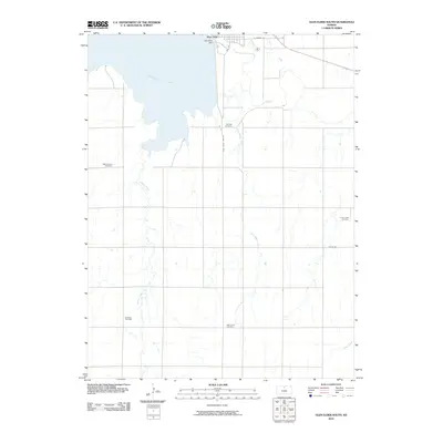
2010 Glen Elder South
Mitchell County, KS
2012 Beloit SE
Mitchell County, KS
2012 Beloit SW
Mitchell County, KS
2012 Blue Hill
Mitchell County, KS
2012 Glasco SW
Mitchell County, KS
2012 Glen Elder South
Mitchell County, KS
2012 Mill Creek
Mitchell County, KS
2012 Solomon Rapids
Mitchell County, KS
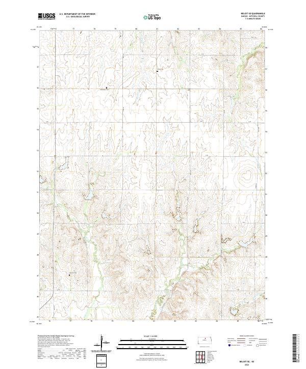
2015 Beloit SE
Mitchell County, KS
2015 Beloit SW
Mitchell County, KS
2015 Blue Hill
Mitchell County, KS
2015 Glasco SW
Mitchell County, KS
2015 Glen Elder South
Mitchell County, KS
2015 Mill Creek
Mitchell County, KS
2015 Solomon Rapids
Mitchell County, KS
2018 Beloit SE
Mitchell County, KS
2018 Beloit SW
Mitchell County, KS
2018 Blue Hill
Mitchell County, KS
2018 Glasco SW
Mitchell County, KS
2018 Glen Elder South
Mitchell County, KS
2018 Mill Creek
Mitchell County, KS
2018 Solomon Rapids
Mitchell County, KS
2022 Beloit SE
Mitchell County, KS
2022 Beloit SW
Mitchell County, KS
2022 Blue Hill
Mitchell County, KS
2022 Glasco SW
Mitchell County, KS
2022 Glen Elder South
Mitchell County, KS
2022 Mill Creek
Mitchell County, KS
2022 Solomon Rapids
Mitchell County, KS