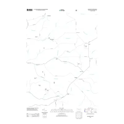
2013 Map of Scandia
USGS Topo · Published 2013About this map
Scandia serves as the central hub for this borderlands region, where the Pennsylvania and New York state lines meet amidst a high-relief landscape of ridges and hollows. The area is defined by its numerous "Corners" — named crossroads such as Clendening Corners, Lounsbury Corners, and Macks Corners — which suggest a legacy of family landholdings and small-scale agricultural centers. This settlement pattern is further emphasized by the inclusion of Gouldtown to the north and the cluster at Smith Corners to the south.
Find a feature on this map
71 named features on this map. Tap any name to fly to it.
Don’t see what you’re looking for? This feature index may not catch every label — zoom into the map to look around manually.
Map Details
Editions of this 2013 Scandia Map
This is the sole edition of this map. No revisions or reprints were ever made.
Other maps of this area

1905 · Jamestown
USGS Topo · 1:62,500

1906 · Warren
USGS Topo · 1:62,500

1907 · Warren
USGS Topo · 1:62,500

1908 · Warren
USGS Topo · 1:62,500

1922 · Randolph
USGS Topo · 1:62,500

1923 · Randolph
USGS Topo · 1:62,500

1936 · Kinzua
USGS Topo · 1:48,000

1941 · Kinzua
USGS Topo · 1:62,500

1942 · Jamestown
USGS Topo · 1:62,500

1943 · Randolph
USGS Topo · 1:62,500