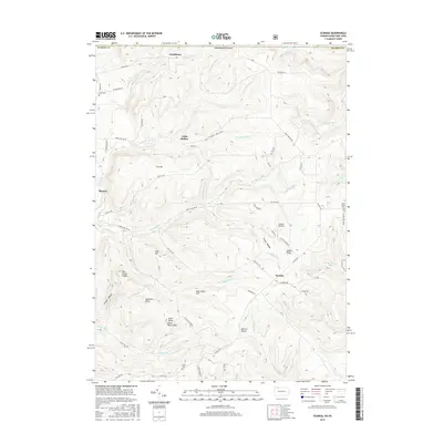
2016 Map of Scandia
USGS Topo · Published 2016About this map
The rugged uplands of the Pennsylvania-New York border define this landscape, where the settlements of Gouldtown, Cable Hollow, and Scandia follow the winding drainages and ridgelines. High points like Goose Heaven Hill and Fox Hill dominate the terrain, which is carved by numerous runs and hollows including Middlefield Run and Simons Hollow. The area is marked by localized landmarks such as Gardners Rocks and Warren Rocks, reflecting a topography of weathered stone and steep valleys.
Find a feature on this map
65 named features on this map. Tap any name to fly to it.
Don’t see what you’re looking for? This feature index may not catch every label — zoom into the map to look around manually.
Map Details
Editions of this 2016 Scandia Map
This is the sole edition of this map. No revisions or reprints were ever made.
Other maps of this area

1905 · Jamestown
USGS Topo · 1:62,500

1906 · Warren
USGS Topo · 1:62,500

1907 · Warren
USGS Topo · 1:62,500

1908 · Warren
USGS Topo · 1:62,500

1922 · Randolph
USGS Topo · 1:62,500

1923 · Randolph
USGS Topo · 1:62,500

1936 · Kinzua
USGS Topo · 1:48,000

1941 · Kinzua
USGS Topo · 1:62,500

1942 · Jamestown
USGS Topo · 1:62,500

1943 · Randolph
USGS Topo · 1:62,500