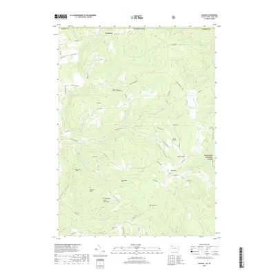
2019 Map of Scandia
USGS Topo · Published 2019About this map
The crossroads community of Scandia sits atop the high ground of Quaker Ridge, serving as a central point for a landscape defined by deep valleys and timbered slopes. Along the northern edge, the settlements of Gouldtown and Cable Hollow follow the drainage patterns that flow toward the state line. Much of the eastern portion of this territory is occupied by the Allegheny National Forest, where the terrain drops sharply into Priest Hollow and toward the winding Cornplanter Run.
Find a feature on this map
59 named features on this map. Tap any name to fly to it.
Don’t see what you’re looking for? This feature index may not catch every label — zoom into the map to look around manually.
Map Details
Editions of this 2019 Scandia Map
This is the sole edition of this map. No revisions or reprints were ever made.
Other maps of this area

1905 · Jamestown
USGS Topo · 1:62,500

1906 · Warren
USGS Topo · 1:62,500

1907 · Warren
USGS Topo · 1:62,500

1908 · Warren
USGS Topo · 1:62,500

1922 · Randolph
USGS Topo · 1:62,500

1923 · Randolph
USGS Topo · 1:62,500

1936 · Kinzua
USGS Topo · 1:48,000

1941 · Kinzua
USGS Topo · 1:62,500

1942 · Jamestown
USGS Topo · 1:62,500

1943 · Randolph
USGS Topo · 1:62,500