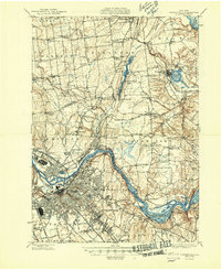
1948 Map of Schenectady
USGS Topo · Published 1948About this map
The Mohawk River corridor serves as the industrial and transportation backbone of this mid-century landscape, anchoring the city of Schenectady. This post-war era view documents the dense rail network supporting the region, including the Delaware and Hudson Railroad and the New York Central Railroad. To the north, the transition from urban centers like Scotia and Rotterdam into the agricultural and resort lands of Saratoga County is clear, marked by the presence of Ballston Lake and the village of Ballston Spa.
Find a feature on this map
77 named features on this map. Tap any name to fly to it.
Don’t see what you’re looking for? This feature index may not catch every label — zoom into the map to look around manually.
Map Details
Editions of this 1948 Schenectady Map
This is the sole edition of this map. No revisions or reprints were ever made.
Other maps of this area
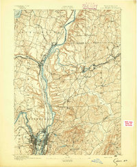
1893 · Cohoes
USGS Topo · 1:62,500
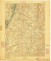
1893 · Troy
USGS Topo · 1:62,500
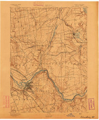
1893 · Schenectady
USGS Topo · 1:62,500
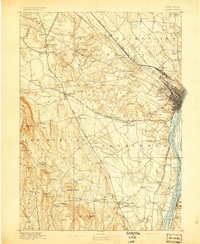
1893 · Albany
USGS Topo · 1:62,500
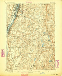
1895 · Troy
USGS Topo · 1:62,500
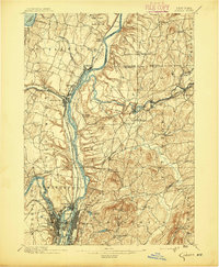
1895 · Cohoes
USGS Topo · 1:62,500
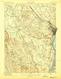
1895 · Albany
USGS Topo · 1:62,500
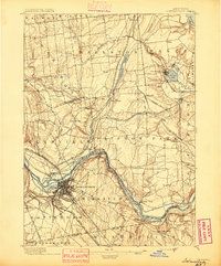
1895 · Schenectady
USGS Topo · 1:62,500
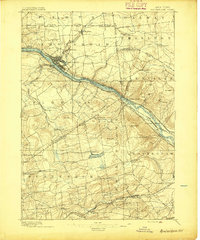
1895 · Amsterdam
USGS Topo · 1:62,500
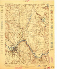
1898 · Schenectady
USGS Topo · 1:62,500