2022 Map of Scipio
USGS Topo · Published 2022About this map
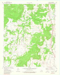
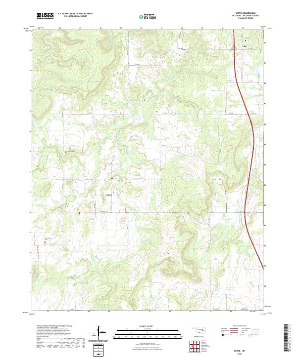
Scipio and Ulan anchor this section of Pittsburg County, where the landscape is defined by the winding course of Scipio Cr as it moves through the central and northwestern sections of the quadrangle. The area maintains a rural, dispersed settlement pattern typical of southeastern Oklahoma, with local history preserved in small, dedicated burial grounds like Hughlow Cem and Lone Grove Cem. Toward the north, Ulan Cem serves the community near the junction of Ulan Rd and Choate Prairie Rd. The road network follows a rigid section-line grid, though many routes such as Hugh Low Rd and Tannehill Rd are named for local families and early settlers. To the south, the terrain descends toward the valley of Little Wildhorse Cr, illustrating the transition between the rolling uplands and the creek bottoms that have shaped the agricultural life of the region.
Find a feature on this map
44 named features on this map. Tap any name to fly to it.
Don’t see what you’re looking for? This feature index may not catch every label — zoom into the map to look around manually.
Map Details
Editions of this 2022 Scipio Map
This is the sole edition of this map. No revisions or reprints were ever made.