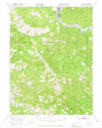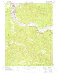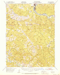
1951 Map of Scotia
USGS Topo · Published 1951About this map
The lumber-driven landscape of the Eel River valley is documented here at the midpoint of the twentieth century, anchored by the company town of Scotia and neighboring Rio Dell. The Northwestern Pacific railroad follows the river's path, serving as the industrial artery for the region alongside the Redwood Highway. The map reveals a rugged interior defined by expansive ranching operations, including the Chase Ranch, McClellan Ranch, and Ambrosini Ranch, interspersed between the high timbered ridges of Bear River Ridge and Rainbow Ridge.
Find a feature on this map
92 named features on this map. Tap any name to fly to it.
Don’t see what you’re looking for? This feature index may not catch every label — zoom into the map to look around manually.
Map Details
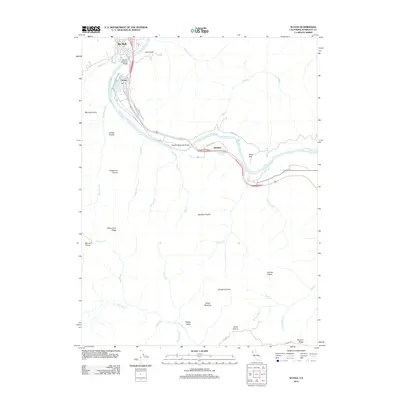
Editions of this 1951 Scotia Map
This is the sole edition of this map. No revisions or reprints were ever made.
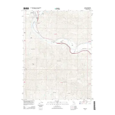
Historical Maps of Rio Dell Through Time
7 maps found