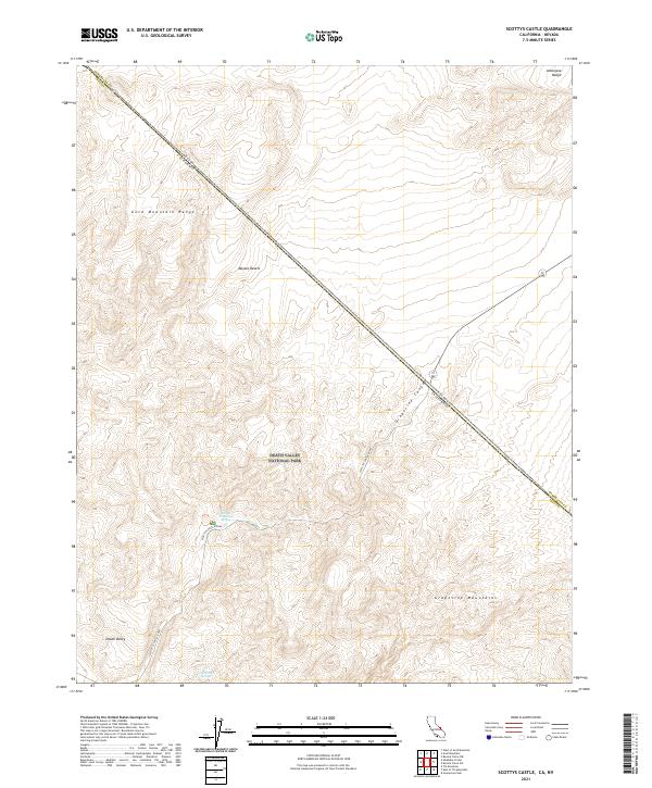
2021 Map of Scottys Castle
USGS Topo · Published 2021About this map
Death Valley National Park encompasses the stark topography where the Amargosa Range and the Grapevine Mountains converge near the California-Nevada border. This arid landscape is bisected by Scottys Castle Road, which follows the natural descent through Grapevine Canyon as it leads into the northern reaches of Death Valley. The presence of water is rare and vital in this section of the Mojave Desert, marked by isolated points like Scottys Grapevine Spring and Surprise Springs. The map illustrates the complex ridgelines of the Gold Mountain Range and the administrative boundaries of Esmeralda and Inyo counties, highlighting the intersection of geologic features and political borders in a sparsely developed desert corridor.
Find a feature on this map
19 named features on this map. Tap any name to fly to it.
Don’t see what you’re looking for? This feature index may not catch every label — zoom into the map to look around manually.
Map Details
Editions of this 2021 Scottys Castle Map
This is the sole edition of this map. No revisions or reprints were ever made.
Other maps of this area

1908 · Lida
USGS Topo · 1:250,000

1908 · Ballarat
USGS Topo · 1:250,000

1913 · Lida
USGS Topo · 1:250,000

1913 · Ballarat
USGS Topo · 1:250,000

1948 · Death Valley
USGS Topo · 1:250,000

1954 · Death Valley
USGS Topo · 1:250,000

1954 · Goldfield
USGS Topo · 1:250,000

1955 · Goldfield
USGS Topo · 1:250,000

1956 · Death Valley
USGS Topo · 1:250,000

1957 · Death Valley
USGS Topo · 1:250,000