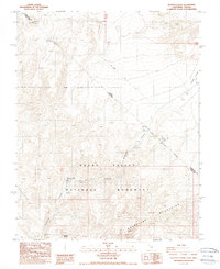
1988 Map of Scottys Castle
USGS Topo · Published 1988About this map
Scottys Castle (Death Valley Ranch) serves as the focal point of this late 1980s survey, marking a unique pocket of desert architecture and history within the Death Valley National Monument. The map detail follows the steep descent of Grapevine Canyon as it cuts through the Grapevine Mountains toward the open expanse of Bonnie Claire Flat. Water, a critical resource in this arid environment, is noted at Grapevine Springs and Surprise Springs.
Find a feature on this map
14 named features on this map. Tap any name to fly to it.
Don’t see what you’re looking for? This feature index may not catch every label — zoom into the map to look around manually.
Map Details
Editions of this 1988 Scottys Castle Map
This is the sole edition of this map. No revisions or reprints were ever made.
Other maps of this area

1908 · Lida
USGS Topo · 1:250,000

1908 · Ballarat
USGS Topo · 1:250,000

1913 · Lida
USGS Topo · 1:250,000

1913 · Ballarat
USGS Topo · 1:250,000

1948 · Death Valley
USGS Topo · 1:250,000

1954 · Death Valley
USGS Topo · 1:250,000

1954 · Goldfield
USGS Topo · 1:250,000

1955 · Goldfield
USGS Topo · 1:250,000

1956 · Death Valley
USGS Topo · 1:250,000

1957 · Death Valley
USGS Topo · 1:250,000