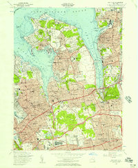
1954 Map of Sea Cliff
USGS Topo · Published 1957About this map
The Gold Coast of Nassau County is intricately detailed during a period of significant suburban expansion, where established estates and yacht clubs meet the newly carved routes of the Northern State Parkway. Along the shores of Manhasset Bay and Hempstead Harbor, the map documents the dense concentration of villages such as Sands Point, Kings Point, and Roslyn Harbor. Educational and religious institutions are prominent landmarks, including the St Ignatius Seminary and St Marys High Sch, while the presence of the US Naval Reservation and Roslyn Air Force Station highlights the era's military footprint.
Find a feature on this map
101 named features on this map. Tap any name to fly to it.
Don’t see what you’re looking for? This feature index may not catch every label — zoom into the map to look around manually.
Map Details
Editions of this 1954 Sea Cliff Map
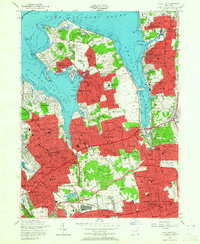
2 editions found
Other maps of this area

1889 · Brooklyn
USGS Topo · 1:62,500

1891 · Brooklyn
USGS Topo · 1:62,500

1891 · Harlem
USGS Topo · 1:62,500

1897 · Harlem
USGS Topo · 1:62,500

1897 · Brooklyn
USGS Topo · 1:62,500

1897 · Hempstead
USGS Topo · 1:62,500

1897 · Oyster Bay
USGS Topo · 1:62,500

1898 · Harlem
USGS Topo · 1:62,500

1898 · Hempstead
USGS Topo · 1:62,500

1898 · Brooklyn
USGS Topo · 1:62,500