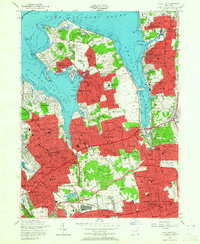
1954 Map of Sea Cliff
USGS Topo · Published 1965About this map
The deep indentations of Manhasset Bay and Hempstead Harbor define this mid-century survey of the North Shore. Coastal peninsulas such as Sands Point and Kings Point are characterized by dense residential developments, including incorporated villages like Baxter Estates and Plandome. The interior landscape reveals a sophisticated 1950s infrastructure, with the Long Island Rail Road and the Northern State Parkway facilitating the era's suburban expansion.
Find a feature on this map
87 named features on this map. Tap any name to fly to it.
Don’t see what you’re looking for? This feature index may not catch every label — zoom into the map to look around manually.
Map Details
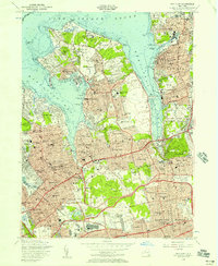
Editions of this 1954 Sea Cliff Map
2 editions found
Other maps of this area

1889 · Brooklyn
USGS Topo · 1:62,500

1891 · Brooklyn
USGS Topo · 1:62,500

1891 · Harlem
USGS Topo · 1:62,500

1897 · Harlem
USGS Topo · 1:62,500

1897 · Brooklyn
USGS Topo · 1:62,500

1897 · Hempstead
USGS Topo · 1:62,500

1897 · Oyster Bay
USGS Topo · 1:62,500

1898 · Harlem
USGS Topo · 1:62,500

1898 · Hempstead
USGS Topo · 1:62,500

1898 · Brooklyn
USGS Topo · 1:62,500