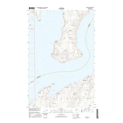
2017 Map of Seabeck
USGS Topo · Published 2017About this map
The Toandos Peninsula and the Great Peninsula face one another across the deep waters of Hood Canal, marking a transition from the wilder shorelines of Jefferson County to the more developed communities of Kitsap County. Along the southern shore, several distinct residential enclaves like Scenic Beach, Miami Beach, and Maple Beach line the waterfront, while the settlement of Seabeck sits at the head of its namesake Seabeck Bay. This area illustrates the coastal settlement patterns of the Puget Sound region, where narrow roads like Seabeck HWY NW and Coyle RD follow the topography of the land to reach isolated points and harbors.
Find a feature on this map
86 named features on this map. Tap any name to fly to it.
Don’t see what you’re looking for? This feature index may not catch every label — zoom into the map to look around manually.
Map Details
Editions of this 2017 Seabeck Map
This is the sole edition of this map. No revisions or reprints were ever made.
Other maps of this area

1936 · Point Misery
USGS Topo · 1:62,500

1937 · Port Orchard
USGS Topo · 1:62,500

1937 · Port Gamble
USGS Topo · 1:62,500

1940 · Port Gamble
USGS Topo · 1:62,500

1940 · Point Misery
USGS Topo · 1:62,500

1940 · Quilcene
USGS Topo · 1:62,500

1953 · Seabeck
USGS Topo · 1:24,000

1953 · Poulsbo
USGS Topo · 1:24,000

1953 · Quilcene
USGS Topo · 1:24,000

1953 · Mt. Walker
USGS Topo · 1:24,000