2021 Map of Seal Beach
USGS Topo · Published 2021About this map
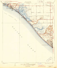
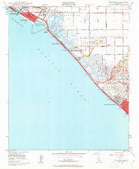
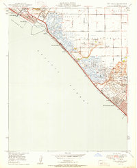
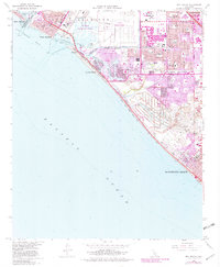
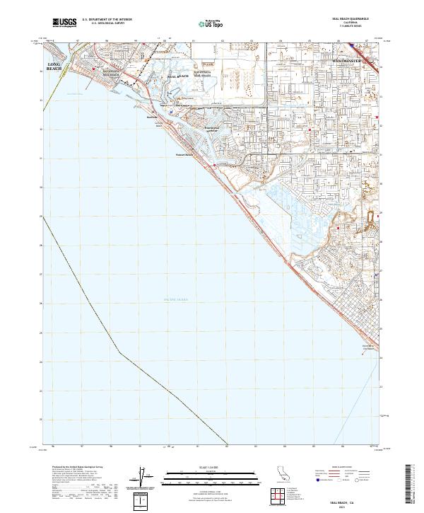
Landing Hill and the surrounding marshlands define the coastal geography of this Orange County shoreline. The complex interface between Anaheim Bay and Huntington Harbour illustrates the extensive civil engineering required to stabilize this low-lying region, where the Bolsa Chica Ecological Preserve remains a significant undeveloped natural landscape. Inland, the suburban expansion of Westminster and Seal Beach is evident, characterized by dense residential street grids and local landmarks like Golden West College.
Find a feature on this map
124 named features on this map. Tap any name to fly to it.
Don’t see what you’re looking for? This feature index may not catch every label — zoom into the map to look around manually.
Map Details
Editions of this 2021 Seal Beach Map
This is the sole edition of this map. No revisions or reprints were ever made.
Historical Maps of Long Beach Through Time
6 maps found