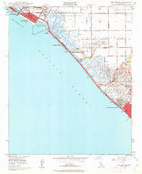
1949 Map of Seal Beach
USGS Topo · Published 1962About this map
The Pacific Ocean coastline between Long Beach and Huntington Beach shows a landscape defined by wetlands and emerging aviation infrastructure in the years following World War II. A massive Naval Reservation dominates the interior marshlands, surrounding Anaheim Bay and Sunset Bay. This era is marked by the presence of numerous private sporting clubs, including the Cazzadores Gun Club, Lomita Gun Club, and La Bolsa Chica Gun Club, which highlight the region's history as a coastal wetland hunting ground.
Find a feature on this map
40 named features on this map. Tap any name to fly to it.
Don’t see what you’re looking for? This feature index may not catch every label — zoom into the map to look around manually.
Map Details
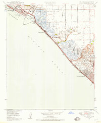
Editions of this 1949 Seal Beach Map
2 editions found
Other maps of this area

1896 · Santa Ana
USGS Topo · 1:62,500

1896 · Anaheim
USGS Topo · 1:62,500

1896 · Las Bolsas
USGS Topo · 1:62,500

1896 · Downey
USGS Topo · 1:62,500

1898 · Anaheim
USGS Topo · 1:62,500

1899 · Downey
USGS Topo · 1:62,500

1901 · Southern California Sheet No. 1
USGS Topo · 1:250,000

1901 · Santa Ana
USGS Topo · 1:62,500

1901 · Anaheim
USGS Topo · 1:62,500

1902 · Downey
USGS Topo · 1:62,500