
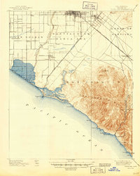
1901 Map of Santa Ana
USGS Topo · Published 1901About this map
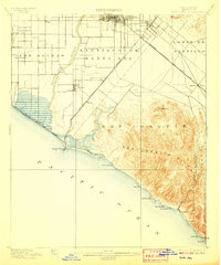
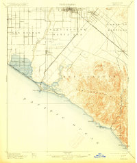
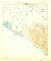
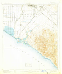
Santa Ana serves as the focal point for this turn-of-the-century coastal landscape, where the Santa Ana River carves a path through the expansive rancho lands of Santiago de Santa Ana toward the coast. The map illustrates an era of significant transition, showing the early footprints of settlements like Tustin and Newport Beach before the massive suburban expansion of the late 20th century. A dense network of Southern Pacific Railroad branches, including the Smeltzer Branch and Newport Beach Branch, highlights the importance of agricultural transport between the inland fertile plains and the Pacific. To the southeast, the San Joaquin Hills rise sharply from the coastline, dotted with coastal landmarks like Reef Pt. and Abalone Pt., while the small settlement of Laguna sits isolated along the rugged shore near Arch Beach.
Find a feature on this map
45 named features on this map. Tap any name to fly to it.
Don’t see what you’re looking for? This feature index may not catch every label — zoom into the map to look around manually.
Map Details
Editions of this 1901 Santa Ana Map
6 editions found
Other maps of this area

1896 · Santa Ana
USGS Topo · 1:62,500

1896 · Anaheim
USGS Topo · 1:62,500

1896 · Las Bolsas
USGS Topo · 1:62,500

1896 · Downey
USGS Topo · 1:62,500

1898 · Anaheim
USGS Topo · 1:62,500

1899 · Downey
USGS Topo · 1:62,500

1901 · Southern California Sheet No. 1
USGS Topo · 1:250,000

1901 · Anaheim
USGS Topo · 1:62,500

1902 · Capistrano
USGS Topo · 1:125,000

1902 · Downey
USGS Topo · 1:62,500