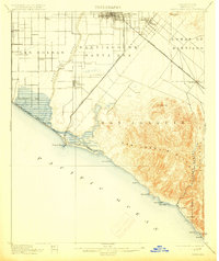
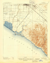
1901 Map of Santa Ana
USGS Topo · Published 1915About this map
Santa Ana and Tustin serve as the primary inland hubs of Orange County at the turn of the century, where the Southern Pacific Railroad and the Southern California Railroad (Surf Line) intersect to facilitate agricultural trade. This coastal landscape is defined by vast land grants including Santiago de Santa Ana and San Joaquin, reflecting the area's transition from Spanish-era ranchos to a developing coastal economy. Along the Pacific, Newport Beach sits adjacent to the natural expanse of Newport Bay, while the San Joaquin Hills rise sharply from the coastline near Laguna and Arch Beach. Small farming outposts like Smeltzer, Wintersburg, and Talbert dot the plains of Las Bolsas, tracing a network of early roads and irrigation patterns before the heavy urbanization of the mid-20th century transformed the region.
Find a feature on this map
39 named features on this map. Tap any name to fly to it.
Don’t see what you’re looking for? This feature index may not catch every label — zoom into the map to look around manually.
Map Details
Editions of this 1901 Santa Ana Map
6 editions found
Other maps of this area

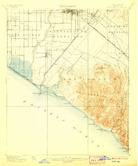
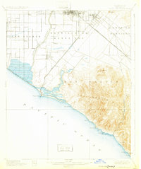
1896 · Santa Ana
USGS Topo · 1:62,500

1896 · Anaheim
USGS Topo · 1:62,500

1896 · Las Bolsas
USGS Topo · 1:62,500

1896 · Downey
USGS Topo · 1:62,500

1898 · Anaheim
USGS Topo · 1:62,500

1899 · Downey
USGS Topo · 1:62,500

1901 · Southern California Sheet No. 1
USGS Topo · 1:250,000

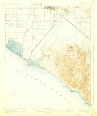
1901 · Santa Ana
USGS Topo · 1:62,500

1901 · Anaheim
USGS Topo · 1:62,500

1902 · Capistrano
USGS Topo · 1:125,000