
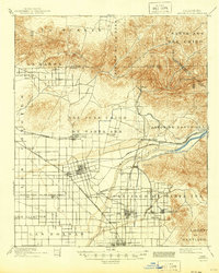
1901 Map of Anaheim
USGS Topo · Published 1901About this map
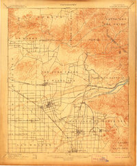
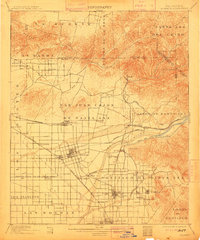
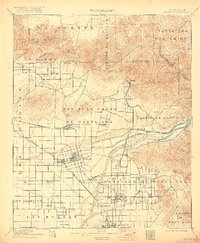
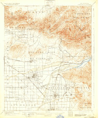
Anaheim and the surrounding citrus-growing heart of Orange County are captured here at the dawn of the twentieth century, just years after the county's formal separation from Los Angeles. This 1901 edition, with culture revised by E.G. Hamilton, reveals a landscape defined by an intricate network of irrigation and rail. The Santa Ana River serves as the primary artery for the region, feeding the Santa Ana and Orange Canal to support the expanding orchards. The map highlights the early development of towns like Fullerton, Orange, and Placentia along the lines of the Southern California and Southern Pacific railroads. From the hills of Rincon de la Brea to the flatlands of Las Bolsas, the sheet documents the transition from large ranchos to subdivided agricultural lots and small town centers like Garden Grove and El Modena.
Find a feature on this map
54 named features on this map. Tap any name to fly to it.
Don’t see what you’re looking for? This feature index may not catch every label — zoom into the map to look around manually.
Map Details
Editions of this 1901 Anaheim Map
6 editions found
Other maps of this area

1894 · Los Angeles
USGS Topo · 1:62,500

1894 · Pomona
USGS Topo · 1:62,500

1896 · Santa Ana
USGS Topo · 1:62,500

1896 · Pasadena
USGS Topo · 1:62,500

1896 · Anaheim
USGS Topo · 1:62,500

1896 · Las Bolsas
USGS Topo · 1:62,500

1896 · Downey
USGS Topo · 1:62,500

1897 · Pomona
USGS Topo · 1:62,500

1897 · Cucamonga
USGS Topo · 1:62,500

1898 · Pomona
USGS Topo · 1:62,500